
Leave it to us! ICT 3D surveying services
Would you like to transform the site into one where 3D measurement and data processing tasks are more efficient than ever?

複雑な形状を高精度&高効率に測定!3D計測関連の製品・技術をご紹介
Date Published:
1~20 item / All 20 items
Would you like to transform the site into one where 3D measurement and data processing tasks are more efficient than ever?
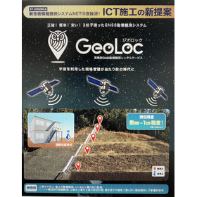
Utilizing space for site management, also for maintenance management.
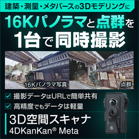
Simultaneously captures photos and point clouds with a single device. Reduces data size to one-fifth of the conventional amount and supports improved efficiency in drafting and modeling through domestic cloud management.
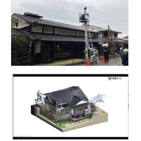
Efficient restoration and preservation of historical buildings without existing blueprints! Easy inter-departmental sharing with lightweight point cloud data.
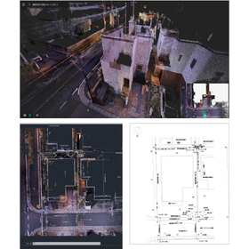
Achieving two-person system field measurements with just one person! Contributing to the reduction of manpower in surveying operations without the need for operational skills.

Measurement with millimeter-level precision is possible! Surrounding structures can also be mapped, eliminating the need for re-surveying the same site.

It doesn't just end with calculations; you can also rely on us for optimal structural design and material selection!
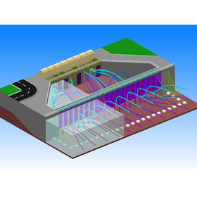

It's a tool that fully 3D models and measures the space and objects in front of you using a smartphone!
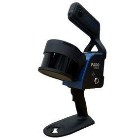
Compatible with the National Geographic Institute's public surveying manual! A handheld slam laser scanner that serves two purposes.

The future of infrastructure opened up by digital means! Aisei is launching the "Hakkaru" service, a coined term combining measuring, planning, calculating, and being light on one's feet.

We provide nationwide services for aerial photography, surveying, and measurement using drones, as well as surveying and measurement using 3D lasers!

Various applications are possible, such as topographic maps, current condition maps, construction renovations, equipment management, and 3D CAD conversion!

The man-hours for data acquisition have been significantly reduced! Tasks such as working at heights are no longer necessary, improving safety on site.

It is a measurement technology that can obtain point cloud coordinates as a planar three-dimensional representation.

Bringing the entire site back with 3D laser scanner measurements.

Achieving an error of less than 5mm! A compact and high-speed high-performance 3D measurement solution for logistics.

Please leave the 3D i-con construction support services to us.

Measure floor accuracy and visualize unevenness and height differences that affect AGV operation. This floor survey is useful for pre-introduction assessments and correction planning. Nationwide support is also available.
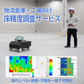
Before introducing AGVs, AMRs, and high-rise racks, we measure the floor's unevenness, undulations, irregularities, groove widths, and the condition of joint areas all at once. We can provide the report in as little as one day!
Stay Updated with Our Newsletter
The next update is,.