[Technical Information] Differences Between Conventional Positioning Methods and Network-Based Positioning Methods
Solving the problems of conventional methods! A network-based positioning system that achieves high-precision positioning with just one unit!
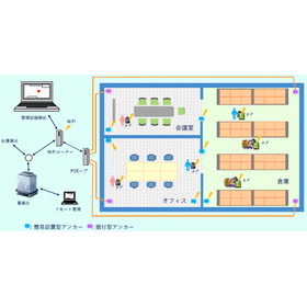
We will introduce the differences between conventional positioning methods and network-based positioning methods. Conventional positioning methods include "standalone positioning," which is used for general purposes such as climbing and leisure, and "relative positioning," which is used in cases requiring high accuracy such as surveying. These methods have issues such as accuracy degradation due to various error factors and the need for multiple receivers. The "network-based positioning system" was developed as a solution to these problems, allowing for a maximum accuracy of 1 cm with a single receiver when utilizing this system. Our company has established facilities to enable 24-hour use of network-based positioning throughout Japan and provides this service. 【Features of the Network-Based Positioning System】 ■ Achieves a maximum accuracy of 1 cm with a single receiver ■ Resolves accuracy issues caused by various error factors (standalone positioning) ■ Addresses error problems due to receiver distance (relative positioning) ■ Facilities to enable 24-hour positioning use in Japan *For more details, please refer to the PDF document or feel free to contact us.

Inquire About This Product
basic information
【Conventional Positioning Methods】 <Standalone Positioning> ■Advantages - Position information can be obtained simply by placing a single GNSS receiver at the unknown point where the location needs to be determined. ■Disadvantages - Due to various error factors, the accuracy is limited to about 10m to 50m. <Relative Positioning> ■Advantages - Error factors that occur at the receiver level can cancel each other out, allowing for the acquisition of high-precision position information. ■Disadvantages - Multiple receivers are required. - As the distance between receivers increases, the error factors between them change, leading to a degradation in accuracy. - Some level of technical skill is required for use. *For more details, please refer to the PDF document or feel free to contact us.
Price range
Delivery Time
Applications/Examples of results
[Applications] ■ Control point surveying ■ Topographic surveying ■ Route/vertical and horizontal cross-section, river depth, land use/boundary ■ Foundation surveying/single parcel surveying ■ Pile driving ■ Aerial surveying, etc. *For more details, please refer to the PDF document or feel free to contact us.
Company information

Genova Corporation is a company that provides high-precision location information services using GNSS satellites. Currently, applications utilizing network-based RTK (Real-Time Kinematic) are expanding. Our high-precision positioning data services are used in numerous fields, including autonomous driving, precision agriculture, i-Construction/ICT construction, UAVs, general surveying, civil engineering, research work, land and building surveying, and archaeological investigations.