
[Use Case] Acquisition of Detailed Terrain Data through UAV Green Laser Surveying
Introduction of a case study utilizing an offshore breakwater mound where healthiness has been confirmed without significant dispersion.
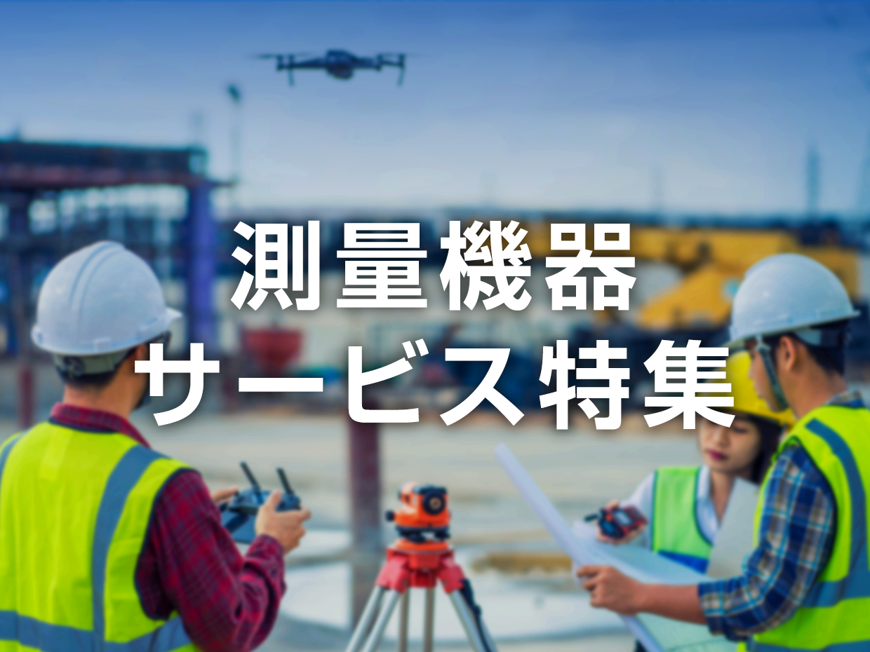
高精度かつ効率的な測量を実現!建設・土木工事に欠かせない測量機器・サービスを集めました。
掲載開始:

Introduction of a case study utilizing an offshore breakwater mound where healthiness has been confirmed without significant dispersion.

We will support you by introducing 3D CAD compatible with BIM/CIM!

For bridge construction and excavation work! Easy real-time monitoring is possible.

Construction surveys for roads, rivers, and fields! Contributing to societal development with reliable surveying and design technology.

It can be quickly implemented in existing facilities such as outdoor areas and lockers where securing power is difficult. Rental options help reduce the costs of implementation and operation.

Achieving measurements comparable to a servo accelerometer wirelessly with the world's first unique IoT wireless UNISONet!

Towards public spaces where people and the environment are in harmony! Clean units can be provided individually as well.

Would you like to transform the site into one where 3D measurement and data processing tasks are more efficient than ever?

Real-time sharing of existing drone footage on Teams. Easily achieve remote inspections, surveys, and management.

It performs volume calculations using a TIN model (triangular network) for 3D data up to 2 million in an instant.

The measurement accuracy is high, ranging from ±4mm to ±10mm! It is possible to measure a wide area in a short time.

Professionals in water quality management choose feature-rich intuitive operation.


最新の特集情報をメールマガジンでお知らせしています
次回更新はです。