Environmental Survey of Residential Land History for Design Offices | Designated Survey Organization | Geotech
Geographical and historical survey

We visualize the historical land use and soil risks to support the early determination of design conditions.
In the operations of a design office, early identification of land history risks is extremely important for determining design conditions and optimizing plans. In particular, past land use change history and its use as "mixed land" may harbor potential risks such as soil contamination and underground buried objects. If these risks cannot be identified during the design phase, it may lead to significant changes in the plan or delays in the construction schedule. This service, as a designated investigation agency by the Ministry of the Environment, objectively visualizes the environmental risks of land by thoroughly examining registration history and aerial photographs, as well as conducting accurate sampling surveys, thereby supporting the early determination of design conditions. 【Usage Scenarios】 - Site selection and basic design phase for new projects - Investigation of land previously used as mixed land or material storage - Early determination of design conditions by preemptively understanding soil contamination risks 【Benefits of Implementation】 - Reduction of design change risks through early visualization of land history risks - Early determination of appropriate design conditions considering soil contamination measures - Risk management to prevent legal troubles after handover

Inquire About This Product
basic information
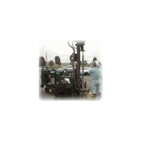
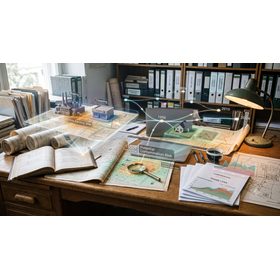
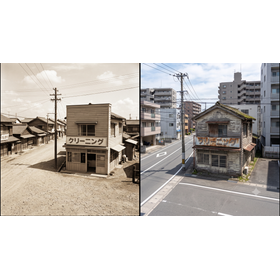
【Features】 - Investigation in compliance with the Soil Contamination Countermeasures Act guidelines by a designated research institution of the Ministry of the Environment - Remote analysis using old maps and aerial photographs from the Taisho era - Comprehensive tracking of past land use changes (such as mixed-use land) through closed registration records - Scrutiny of public documents such as notifications for the establishment of specific facilities - Precise analysis through the collection of surface soil and soil gas samples up to a depth of 1 meter 【Our Strengths】 Geotech is an engineering company specializing in ground and foundation work, providing one-stop services from ground investigation to ground reinforcement design and construction, as well as soil contamination surveys. With extensive experience and reliable technical skills, we support all tasks related to ground issues and contribute to the smooth advancement of projects for design offices.
Price information
Price range
P3
Delivery Time
P4
Applications/Examples of results
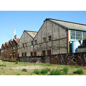
The main application scenario is the voluntary verification process conducted by real estate developers and construction companies before the sales contract when acquiring new residential land or planned condominium construction sites. This applies even to general residential land that is classified as something other than forest or wilderness, if the land has undergone a change in classification in the past and has been categorized as "mixed-use land," etc. It is also utilized for the evaluation of company-owned land during asset liquefaction or M&A, as well as for pre-risk management that goes beyond the statutory obligations related to land use change notifications during factory reconstruction. This helps to identify potential underground environmental defects that might be overlooked in advance, aiming to prevent transaction failures or legal disputes after delivery.
catalog(3)
Download All Catalogs

Company information

-