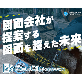
Free trial available. Convert smartphone videos to 3D in as little as 10 minutes! Support for linking with construction data and creating 2D drawings.
"GeoClip" is a service that automatically generates point cloud data capable of dimension measurement in as little as 10 minutes from videos shot on a smartphone, typically lasting 1 to 2 minutes. It is expected to be linked to daily reports for plumbing and equipment construction, as well as future mapping update collaborations. Additionally, as a drawing company, we also support modeling and 2D drawing creation. By utilizing this service, we aim to address the issues of labor shortages and the aging workforce in the surveying and drawing fields, contributing to stable business continuity. 【Features】 ■ Significant reduction in quality check tasks ■ Substantial cost reduction ■ Elimination of dependency on specific individuals and business continuity ■ Precise distance measurement ■ Data editing and processing services *For more details, please download the PDF or feel free to contact us.
Inquire About This Product
basic information
[Corresponding Performance in Ground Photography Surveying] ■ Ground Pixel Size: Within 20mm ■ Camera Performance: Over 48 million pixels ■ Longitudinal Overlap Rate (Shooting Plan): Over 90% ■ Design Point Cloud Density: Over 25 points/cm² *For more details, please download the PDF or feel free to contact us.*
Price information
You can try it for free for one month. For more details, please contact us.
Delivery Time
Applications/Examples of results
The following applications are anticipated: - Preliminary surveying for plumbing work by infrastructure operators, construction reporting, creation of various drawings, and attendance at construction by other companies. - Measurement of pavement area and creation of assessment drawings for paving work. - Measurement of land area and recording of surrounding conditions before building construction. - Point cloud data generation within facilities such as machine rooms (with conditions on the height that can be photographed).
catalog(1)
Download All Catalogs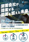
Company information

Since our establishment in 1963, we have been involved in the development of urban lifeline networks, which are essential for a rich social life, focusing on urban gas pipelines, water supply and drainage, telecommunications, and roads, from the perspective of design and surveying. In recent years, in addition to design and surveying services related to lifelines, we have expanded our fields of operation to include general civil engineering design, system development, and public research departments, providing solution services that meet a wide range of customer needs. Furthermore, as a new initiative, we are also expanding our business into environmental assessment. Please feel free to contact us if you have any requests.