Compliant with the Ministry of Land, Infrastructure, Transport and Tourism ICT Implementation Guidelines! Multi-beam data processing software.
Real-time visualization of survey data collected on board is possible, along with automated processing! Various management functions and noise reduction features contribute to the efficiency of underwater research and measurement tasks.
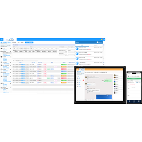
"MarineDiscovery13" is software that demonstrates excellent capabilities in improving the quality of processing and analyzing multi-beam data. By converting the recorded data from multi-beam echo sounders into our product format, unified processing procedures and management become possible. The standard language is Japanese. In systems other than Japanese, it will automatically be displayed in English. The software is equipped with features such as CUBE functionality, offshore ground improvement calculation, contour line creation, and file splitting. 【Features】 ■ Operate various recorded files using the same procedure with diverse outputs ■ Quality improvement through corrections ■ Maintenance of depth measurement accuracy by removing erroneous data ■ Significant reduction in noise removal work time with CUBE ■ Visualization through grids and contour lines *For more details, please refer to the PDF materials or feel free to contact us.

Inquire About This Product
basic information
【Other Features】 ■ Functionality for creating drawings in various styles ■ Batch creation of cross-sectional views from cross-section lines ■ Data migration to CAD and GIS through file conversion ■ Improved work efficiency through in-system management ■ i-Construction compatible features *For more details, please refer to the PDF materials or feel free to contact us.
Price range
Delivery Time
Applications/Examples of results
For more details, please refer to the PDF document or feel free to contact us.
catalog(1)
Download All Catalogs
Company information

Our company is engaged in the development of technologies and the provision of products to explore and elucidate the invisible worlds of the ocean, seabed, and underground, as well as conducting surveys and data analysis to protect the environment. Regarding the analysis of physical exploration data, we aim to clarify the invisible worlds of the ocean, seabed, and underground by providing advanced technology development and quality. We hope that this effort, albeit modest, will contribute to securing maritime interests, ensuring the safe navigation of vessels, developing marine resources, protecting the environment, and serving as a foundation for earthquake disaster prevention.