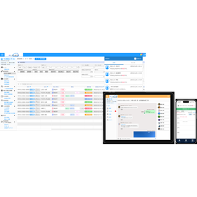
You can utilize it widely for applications such as visualization and simulation.
We offer 'PointMap', which features automatic point cloud capture, data management by date, seamless point clouds, design BIM/CIM comparison, and earthwork calculation functions. We propose its use for various initiatives such as CDGs and traceability in site management. Efforts towards environmental sustainability not only enhance corporate image but also become one of the deciding factors in selection. By adding functions such as voxel management and coordination between dump trucks and heavy machinery, we help improve environmental consideration, safety, and functionality in site management. Additionally, we accept customization requests. Please feel free to contact us with your inquiries. 【Features】 ■ Automatic point cloud data capture ■ Data comparison and earthwork calculation ■ Autonomous operation of cranes *For more details, please download the PDF or feel free to contact us.
Inquire About This Product
basic information
【Service Contents】 ■CPS: Point clouds, BIM/CIM, 3D city models ■Robotics: Remote operation, autonomous driving, hazard detection ■AI: Object detection, natural language processing, reinforcement learning ■VR/AR: Visualization, etc. *For more details, please download the PDF or feel free to contact us.
Price range
Delivery Time
Applications/Examples of results
For more details, please download the PDF or feel free to contact us.
catalog(1)
Download All CatalogsCompany information
Our company is engaged in the development of BIM and AI-related systems, as well as the development of autonomous heavy machinery systems and system operation and management. We provide systems that meet your expectations with prompt responses and meticulous service. If we can help connect the happiness of workers with the resolution of corporate challenges... that is our aspiration, and we strive to create systems tailored to each company's specific issues. Please feel free to consult with us.


