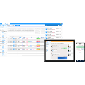
It is equipped with basic GIS functions and has smooth movement and good operability.
"Map Taro" is a GIS (Geographic Information System) software that manages locations and the information associated with those locations. It associates geometric data (locations) with attribute data (associated information) and manages and utilizes them on a layer basis. It has been developed as a GIS that can be utilized in various fields. 【Features】 ■ Offers basic GIS functions at a low price ■ Primarily incorporates and utilizes publicly available map data (provided by the Geospatial Information Authority of Japan and others) as a background ■ Allows for the combination of CSV data created in Excel, etc., with maps for color coding and graph display (a key item for linking is required) ■ Supports import and export of Shape files (the dbf items are maintained in the shape version) *For more details, please download the PDF or feel free to contact us.
Inquire About This Product
basic information
【Main Features】 ■File ■Import ■Export ■Print ■Edit ■View ■Search ■Layer ■CSV Data ■Graph/Color Coding ■Background Map ■Image Alignment ■Tools ■Website *For more details, please download the PDF or feel free to contact us.
Price range
Delivery Time
Applications/Examples of results
【Purpose】 ■ Use of information in the business sector ■ Various uses in the administrative sector ■ Observation and research ■ Learning and study *For more details, please download the PDF or feel free to contact us.
catalog(2)
Download All CatalogsCompany information
- Providing facility management and asset management solutions through the integration of map data and IT - Creating 3D models and AR/VR content using satellite images and UAVs (drones) - Creating maps that serve as a national infrastructure - Building road traffic network data related to Intelligent Transportation Systems (ITS) - Planning collaborative merchandise with famous brands - Selling stationery and miscellaneous goods inspired by maps, among other businesses utilizing "location information and maps" across a wide range of fields. We value the spirit of challenge that has been with us since our founding and aim to create a unique "Intelligent Map" by combining our strengths in "GIS (Geographic Information System) × Programming × Design." Please feel free to contact us with any requests.


