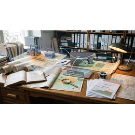
Designated Investigation Agency | Efficient Investigation of Residential Land History to Detect Risks from Past Land Categories
Reduce the cost of land and historical surveys. Quickly examine past land use change histories and mixed-use land risks, and visualize underground contamination at low cost through residential land transaction sampling.
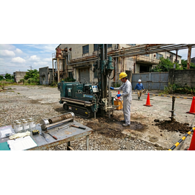
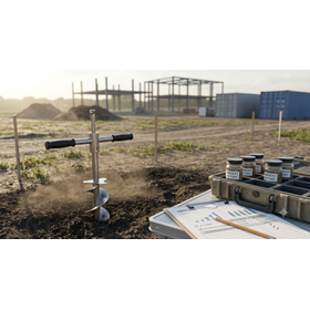
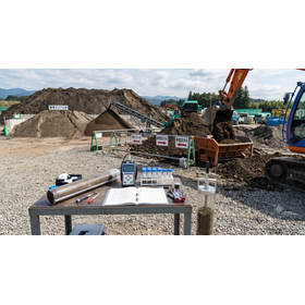
This technical document serves as an efficiency guideline for quickly and cost-effectively extracting and assessing soil contamination risks in real estate development, land acquisition, or corporate asset management practices, particularly when there are budget and timeline constraints. Even for general residential land other than forests or wastelands, rapidly scrutinizing the historical "land category change records" becomes the most rational defense strategy to identify hidden defects while thoroughly eliminating unnecessary investigation costs. In particular, it explains the rigorous historical verification know-how to efficiently digitally match time-series aerial photographs and old maps against periods of past "mixed land risk," where concerns about contamination risks are high, accurately narrowing down the areas that require sampling. Additionally, it covers the optimization procedures for "residential land sale sampling" to minimize the number of samples and reduce analysis costs, as well as the rapid official analysis practices as a designated investigation agency. This document is an essential resource for preventing transaction cancellations and ensuring the safety of the underground environment with overwhelming cost performance.
- Company:ジオテック
- Price:100,000 yen-500,000 yen